![OsmAnd+ — Maps & GPS Offline v4.6.7 [OsmAnd Live] [Mod Extra]](https://play-lh.googleusercontent.com/wKzYJuXfE2XEu1U7s2I7-UMcRCCDv2HxFIp6LavToVMkPH7BaZItRWU5oUKGufhVHfQ "OsmAnd+ — Maps & GPS Offline v4.6.7 [OsmAnd Live] [Mod Extra]")
Follow Us!

Navigation on hikes is no longer a problem. Download the map, put notes and go!
| App Name | OsmAnd+ — Maps & GPS Offline |
| Latest Version | 4.6.7 |
| Size | 180 MB |
| Category | Travel & Local |
| Developer | OsmAnd |
| Mod Info | Premium Unlocked |
| Requires | Android 6.0 & up |
Disabled / Removed unwanted Permissions + Receivers + Providers + Services;
Optimized and zipaligned graphics and cleaned resources for fast load;
Debug code removed;
AOSP compatible mode;
Languages: Full Multi Languages;
CPUs: armeabi-v7a, arm64-v8a, x86, x86_64;
Screen DPIs: 160dpi, 240dpi, 320dpi, 480dpi, 640dpi;
Original package signature changed;
Release by Balatan
Download Mod-ArmAlternate LinkArm64Alternate Link
OsmAnd+ is an open source app. We do not collect user data and you decide what data the app will have access to.
Main features:
OsmAnd+ privileges (Maps+)
• Android Auto support;
• Unlimited map downloads;
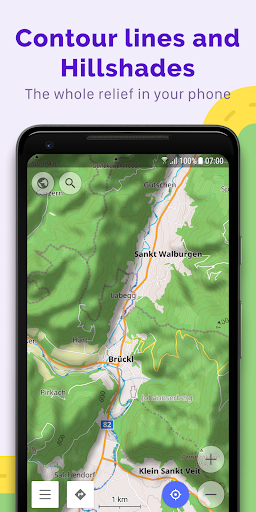
• Topo data (Contour lines and Terrain);
• Nautical depths;
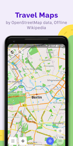
• Offline Wikipedia;
• Offline Wikivoyage – Travel guides;
Map view
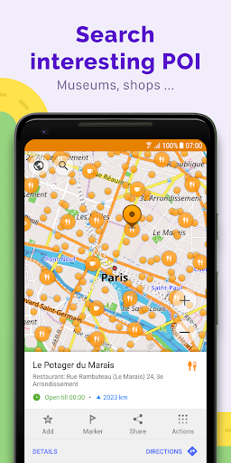
• Choice of places to be displayed on the map: attractions, food, health and more;
• Search for places by address, name, coordinates, or category;
• Map styles for the convenience of different activities: touring view, nautical map, winter and ski, topographic, desert, off-road, and others;
• Shading relief and plug-in contour lines;
• Ability to overlay different sources of maps on top of each other;
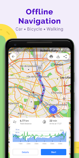
GPS Navigation
• Plotting a route to a place without an Internet connection;
• Customizable navigation profiles for different vehicles: cars, motorcycles, bicycles, 4×4, pedestrians, boats, public transport, and more;
• Change the constructed route, taking into account the exclusion of certain roads or road surfaces;
• Customizable information widgets about the route: distance, speed, remaining travel time, distance to turn, and more;
Route Planning and Recording
• Plotting a route point by point using one or multiple navigation profiles;
• Route recording using GPX tracks;
• Manage GPX tracks: displaying your own or imported GPX tracks on the map, navigating through them;
• Visual data about the route – descents/ascents, distances;
• Ability to share GPX track in OpenStreetMap;
Creation of points with different functionality
• Favourites;
• Markers;
• Audio/video notes;
OpenStreetMap
• Making edits to OSM;
• Updating maps with a frequency of up to one hour;
Additional features
• Compass and radius ruler;
• Mapillary interface;
• Nautical depths;
• Offline Wikipedia;
• Offline Wikivoyage – Travel guides;
• Night theme;
• Large community of users around the world, documentation, and support;
Paid features:
OsmAnd Pro (subscription)
• OsmAnd Cloud (backup and restore);
• Cross-platform;
• Hourly map updates;
• Weather plugin;
• Elevation widget;
• Customise route line;
• External sensors support (ANT+, Bluetooth);
• Online Elevation profile.